Κάθε χρόνο εγκαινιάζεται η νέα μοτοσικλετιστική σεζόν με μια σύντομη βαλκανική βόλτα, ενώ ταυτόχρονα τηρείται και η παράδοση που θέλει να ...

24 ώρες στην Αλβανία


Κάθε χρόνο εγκαινιάζεται η νέα μοτοσικλετιστική σεζόν με μια σύντομη βαλκανική βόλτα, ενώ ταυτόχρονα τηρείται και η παράδοση που θέλει να γιορτάζω την ονομαστική μου γιορτή στο δρόμο. Αυτή τη φορά, με δεδομένο τον ελάχιστο χρόνο που είχε διαθέσιμο η παρέα μου, επιλέχθηκε ως προορισμός η Αλβανία.

Μέρα 1η: Θεσσαλονίκη - Τίρανα [400 χλμ, 5h30m].

Μέσω της Εγνατίας Οδού φτάσαμε σύντομα στην περιοχή Κορεστείων Καστοριάς και στη συνέχεια εξήλθαμε της ελληνικής επικράτειας από τον Μεθοριακό Σταθμό Κρυσταλλοπηγής.


Χωρίς ιδιαίτερες καθυστερήσεις περάσαμε τον αλβανικό τελωνιακό έλεγχο.


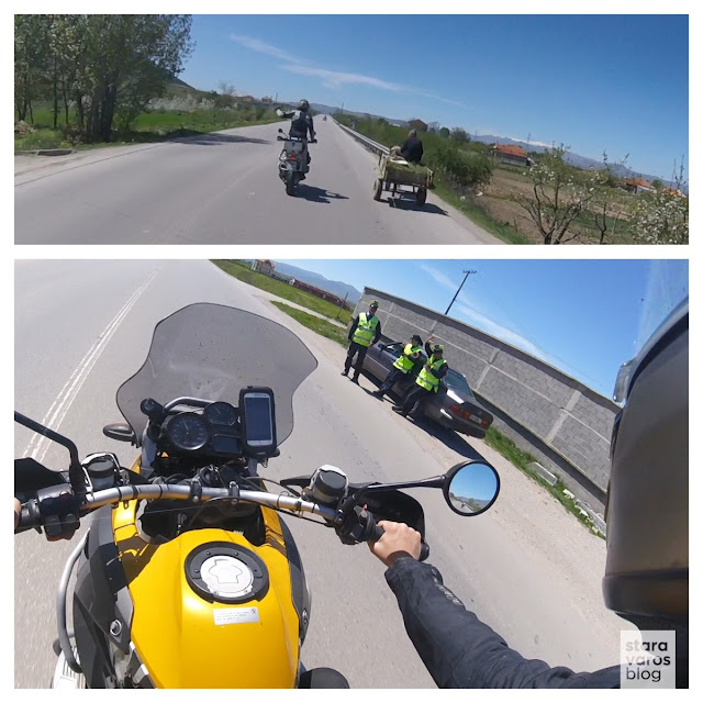
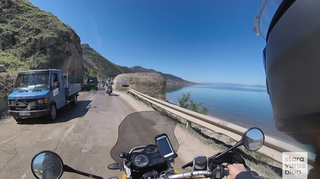
Ξεχασμένα bunkers, άμαξες και μπλόκα της αστυνομίας.


Πόγραδετς.


Πωλητές χελιών παζάρευαν χαλαρά, εν μέση οδώ την πραμάτεια τους.


Μετάνιωσα κάπως που δεν αγόρασα ένα χέλι, να το έχω κρεμασμένο από το τιμόνι μου σε όλη την εκδρομή.


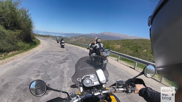
The Four Horsemen.


Σε μπλόκο ενημερωθήκαμε πως ακολουθεί ένα καινούργιο τμήμα οδού, διπλής κατεύθυνσης, στο οποίο έπρεπε να κινηθούμε πραγματοποιώντας όσο περισσότερες παράνομες προσπεράσεις μπορούμε, διπλές – ακόμα και τριπλές, για να εναρμονιστούμε πλήρως με τις επικρατούσες τοπικές οδηγικές συνήθειες.


Δεν είμαι σίγουρος ότι μας συμβούλεψαν ακριβώς αυτό, κυρίως γιατί δεν γνωρίζω καλά αλβανικά. Σε κάθε περίπτωση, δώσαμε τον καλύτερό μας εαυτό.


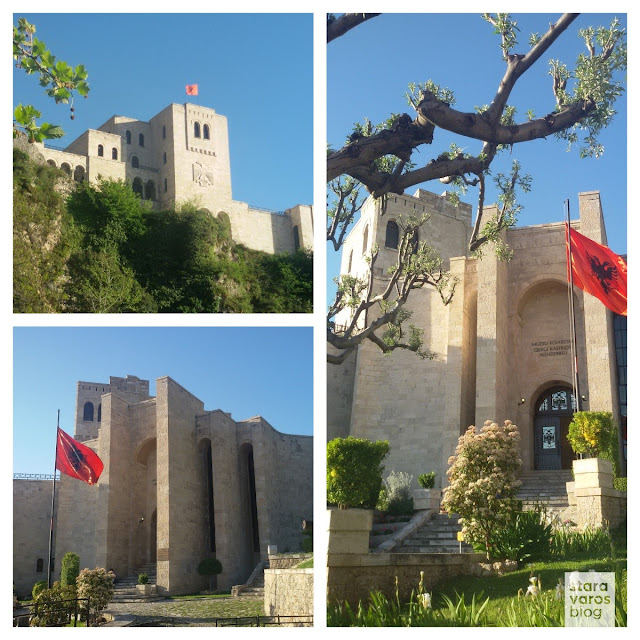
Επόμενος στόχος μας, η πόλη Κρούγια (Krujë), βόρεια της αλβανικής πρωτεύουσας.


Μεταξύ των online πηγών για την πόλη, μου κίνησε το ενδιαφέρον αυτή της Εγκυκλοπαίδειας ΠΑΠΥΡΟΣ–ΛΑΡΟΥΣ–ΜΠΡΙΤΑΝΙΚΑ (τόμος 36, 1989) που αναφέρει «..η πόλη είναι χτισμένη στη θέση της αρχαίας ελληνικής Εριβοίας. Όπως είναι επάνω σε απόκρημνο βράχο, ελέγχει όλες τις γύρω πεδιάδες. Στις πεδιάδες αυτές "κατώπτευσαν αλλήλους" οι Ρωμαίοι Καίσαρ και Πομπήιος πριν από τη μάχη που συνήψαν μεταξύ τους στα Φάρσαλα. Κατά τον 13ο αιώνα το φρούριο της πόλης παραδόθηκε στον αυτοκράτορα της Νίκαιας Ιωάννη Γ' Δούκα Βατάτζη (1222 – 1254) από τον δεσπότη της Ηπείρου Μιχαήλ Β' Άγγελο τον Κομνηνό..».


Η πόλη, επίσης, συνδέεται με τον Γεώργιο Καστριώτη – Σκεντέρμπεη (1404 ή 1405 - 1468), τον γιο του Βυζαντινού άρχοντα Ιωάννη Καστριώτη και της Σέρβας πριγκίπισσας Βοϋσάβας. Πρόκειται για μία ηρωική μορφή που κάτω από την πορφυρή σημαία με τον δικέφαλο αετό, την σημαία του Βυζαντίου, πολέμησε επί δεκαετίες κατά των Οθωμανών, με αμέτρητες νίκες. Το προσωνύμιο Σκεντέρμπεης το πήρε από τους Τούρκους που τον θεώρησαν ισάξιο με τον Μεγάλο Ισκαντάρ ή Σκεντέρ, δηλαδή τον Μέγα Αλέξανδρο.

Μουσείο Γεωργίου Καστριώτη.


Ακολουθώντας την οδό που οδηγεί στον τεκέ του Sari Salltik, στην κορυφή πάνω από την πόλη Κρούγια, μας δόθηκε η ευκαιρία για μερικά ακόμη κλικ.


Επιστροφή Τίρανα, όπου περάσαμε το βράδυ μας. Tirana by night.


Μέρα 2η: Τίρανα - Θεσσαλονίκη [650 χλμ, 9h50m].

Με το φως της ημέρας, η γειτονία γύρω από το ξενοδοχείο μου θύμισε τα φοιτητικά μου χρόνια στο Χάρλεμ της Νέας Υόρκης, κάπου στα τέλη της δεκαετίας του ’80.


Leaving Tirana.


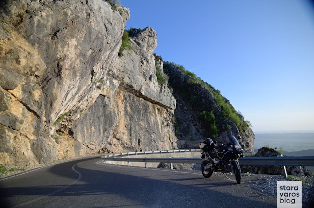
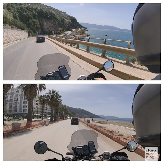
Αυλώνα και αλβανική Ριβιέρα.


Στόχος της ημέρας ήταν η επιστροφή μέσω διαδρομής παράλληλης της ακτογραμμής, με κατεύθυνση νότια και προς την περιοχή που δεσπόζουν τα ύψους 2000 μέτρων Κεραύνια Όρη. Η οροσειρά αυτή κατά την αρχαιότητα ήταν το όριο του ελληνικού κόσμου καθώς αποτελούσε το όριο μεταξύ των Ελληνικών φύλων της Ηπείρου και των Ιλλυρικών φύλων. Στην περιοχή των Κεραυνίων ήταν εγκατεστημένοι οι Χάονες και νοτιότερα οι Θεσπρωτοί. Στους πρόποδες τους βρίσκονταν οι πόλεις των Χαόνων: Φοινίκη, Χιμαίρα, Εκατόμπεδον, Πάνορμος και Ογχησμός (βλ. Στράβωνος «Γεωγραφία», βιβλιο IV).


Συνέχεια της διαδρομής με το διάσημο πέρασμα Llogara, που διασχίζει το ομώνυμο Εθνικό Πάρκο.


Πανόραμα περίπου στα 650 μ. από το επίπεδο της θάλασσας, σε κάτι που αρχικά έμοιαζε με ένα μισοτελειωμένο κτήριο, στην πραγματικότητα όμως ήταν απλά η κορυφή ενός Command Bunker.


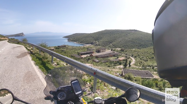
Τα σκορπισμένα σε ολόκληρη την Αλβανία, μικρά ή μεγαλύτερα bunkers, εκτιμώνται σε περίπου 173.000, δηλαδή 5.7 ανά τετραγωνικό χλμ., κατασκευάστηκαν υπό την ηγεσία του Enver Xoxha χωρίς καμία λογική καθώς δεν ενεπλάκησαν ποτέ σε ένοπλη σύγκρουση. Λίγα χιλιόμετρα νοτιότερα, στον κόλπο του Porto Palermo αντίκρυσα πρώτη φορά ένα «κρυμμένο», αλλά διάσημο απομεινάρι της εποχής του Ψυχρού Πολέμου, την βάση υποβρυχίων του Αλβανικού Ναυτικού, περισσότερο γνωστή ως «Porto Palermo Tunnel». Κατασκευάστηκε το 1969, την περίοδο της Σοσιαλιστικής Λαϊκής Δημοκρατίας της Αλβανίας, κατά τη διάρκεια της κυριαρχίας του ηγέτη Enver Hoxha, ενώ ακόμη και σήμερα η περιοχή βρίσκεται υπό στρατιωτικό περιορισμό.


Για κάποιους θεωρείται βάση για ταχύπλοα σκάφη άμυνας, μικρής εμβέλειας, ενώ άλλες πηγές υποστηρίζουν ότι πρόκειται για τη βάση των τεσσάρων σοβιετικών υποβρυχίων «project-613», γνωστά στη Δύση ως «whiskey-class».


[Σημείωση: Οι λήψεις που ακολουθούν, προέρχονται, κατόπιν αδείας, από τον προσωπικό λογαριασμό της Lana Sator στο Instagram. Πρόκειται για τον αγαπημένο μου λογαριασμό που σχετίζεται με το χώρο του εγκατειλλημένου και της αστικής αισθητικής].

Λήψεις της Lana Sator από την πρώην ναυτική βάση.


Περισσότερα για την περιοχή μπορεί να διαβάσει κανείς στη δημοσίευσή μου Albania & Montenegro: A ride over the clouds.


Στάση για φαγητό στη Χειμάρρα.


Από την διαδρομή προς τους Αγίους Σαράντα, ξεχώρισα τα χωριά Βούνο, Δέρμη και την παραλία Δρυμάδες.


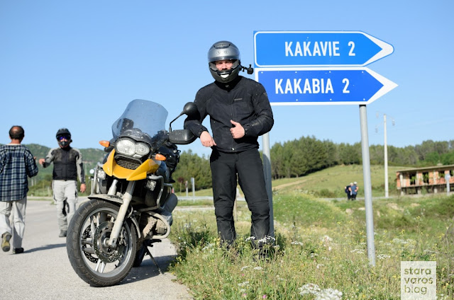
Στάση πριν τον κόμβο Αργυρόκαστρο – Κακαβιά και πλέον κοντά στα Ελληνοαλβανικά σύνορα.


Επιστροφή μέσω του κάθετου οδικού άξονα που ενώνει τον Μεθοριακό Σταθμό με την Εγνατία Οδό.


Καλούς δρόμους σε όλους!

Among my motorcyclist friends, the conditions that ensure a successful trip are often discussed. Many support the idea that the evaluation o...

The Pindus mountain range: Tzoumerka and the Baros Pass

Among my motorcyclist friends, the conditions that ensure a successful trip are often discussed. Many support the idea that the evaluation of a trip is mainly determined by the record-breaking coverage of infinite kilometers per day, by how "exotic" the destination was, how many finally managed to get there and various other factors that, in the end, may not even be required for a motorcycle ride. 
On the contrary, to see something new and beautiful, to get lost in forgotten and abandoned country roads, to get close to nature and (re)discover your true self, most of the times you do not even need to fend off far from home. The exploration of the largest mountain range in Greece, the Pindos, verifies all the above.

Stara Varos Blog - Exploration of the Pindus mountain range: Tzoumerka and the Baros Pass

Dominating almost all of western Greece, the endless complex of mountains, peaks, plateaus, valleys and gorges has a length of up to 230 km and a maximum width of 70 km. The imposing mountain mass is the backbone of Greece, as it begins near the borders with Albania, keeps going south to the Peloponnese in the Corinthian Gulf and, after finally emerging in Crete, is rightly considered the southern end of the Dinaric Alps. The most important mountains that make up the Pindos mountain range are the Athamanika Mountains (Tzoumerka), Grammos, Tymfi (Gamila), Agrafa, Lakmos (Peristeri) and others, while Smolikas has its highest peak, at 2,637 meters.  
Photos and brief comments from a short ride in the Athamanika Mountains and the Baros Pass, follow right bellow.

Stara Varos Blog - Exploration of the Pindus mountain range: Tzoumerka and the Baros Pass

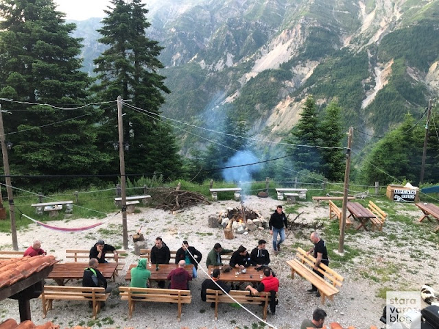
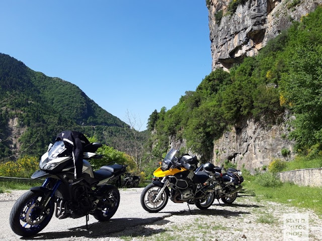
An appointment with friends was given to Melissourgoi (a village in the prefecture of Arta, that is built at an altitude of 850 - 870 meters, on the slopes of the Tzoumerka Mountains).

Stara Varos Blog - Exploration of the Pindus mountain range: Tzoumerka and the Baros Pass

Stara Varos Blog - Exploration of the Pindus mountain range: Tzoumerka and the Baros Pass

From a wide range of options for accommodation in the area, i singled out the remarkable Melissourgoi Mountain Refuge.

Stara Varos Blog - Exploration of the Pindus mountain range: Tzoumerka and the Baros Pass

Stara Varos Blog - Exploration of the Pindus mountain range: Tzoumerka and the Baros Pass

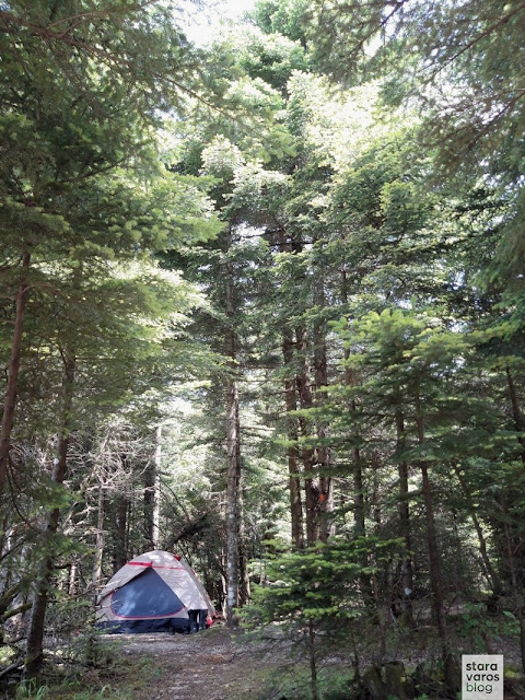
I camped a bit out of the refuge's bounds, to try my tent and myself, since i would soon be on a multi-day trip to Italy - Austria with the same equipment setup and the mood for wild camping. [About that trip: A taste of the Alps].

Stara Varos Blog - Exploration of the Pindus mountain range: Tzoumerka and the Baros Pass

Meeting with friends at the refuge.

Stara Varos Blog - Exploration of the Pindus mountain range: Tzoumerka and the Baros Pass

Stara Varos Blog - Exploration of the Pindus mountain range: Tzoumerka and the Baros Pass

Kalimera Tzoumerka!

Stara Varos Blog - Exploration of the Pindus mountain range: Tzoumerka and the Baros Pass

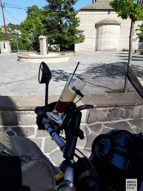
But first, a stop in the village of Pramanta for a coffee for the road (*note: i must not forget to return the glass).

Stara Varos Blog - Exploration of the Pindus mountain range: Tzoumerka and the Baros Pass

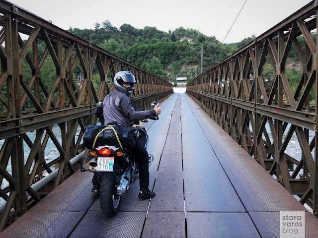
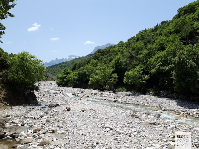
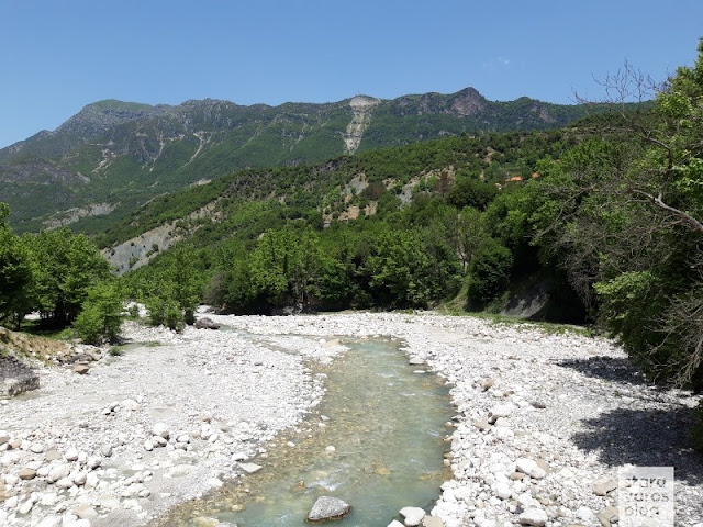
Crossing the Kalaritikos river.

Stara Varos Blog - Exploration of the Pindus mountain range: Tzoumerka and the Baros Pass

Stara Varos Blog - Exploration of the Pindus mountain range: Tzoumerka and the Baros Pass

This was followed by a visit to the monastery of Kipina.

Stara Varos Blog - Exploration of the Pindus mountain range: Tzoumerka and the Baros Pass

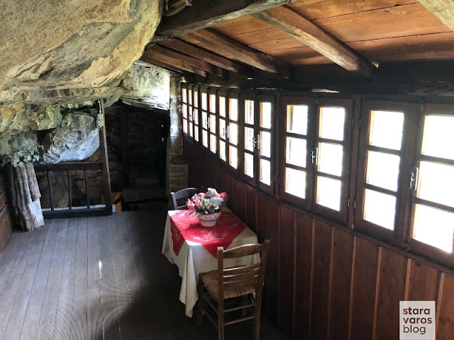
The monastery is built in a large cave of a vertical rock and its foundation, according to its founding inscription, is attributed to the year 1349, while according to Seraphim Byzantios, Metropolitan of Arta and historian, it is even older.

Stara Varos Blog - Exploration of the Pindus mountain range: Tzoumerka and the Baros Pass

The access to the monastery is a path carved into the rock, but in the old days it was interrupted by a mobile wooden bridge - the lysia (λυσιά) - which was removed at night or in an emergency.

Stara Varos Blog - Exploration of the Pindus mountain range: Tzoumerka and the Baros Pass

The location and nature of the monument, the crypt on the ground floor, the 240 m long cave, which opens on the north side of the narthex, the adjacent loopholes and the limited access to it, make the monastery inaccessible and one of the few that were not destroyed by looting raids.

Stara Varos Blog - Exploration of the Pindus mountain range: Tzoumerka and the Baros Pass

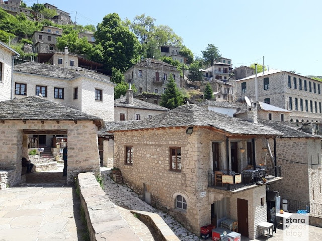
View to the village Syrrako, perhaps one of the most beautiful villages of Pindos.

Stara Varos Blog - Exploration of the Pindus mountain range: Tzoumerka and the Baros Pass

Stara Varos Blog - Exploration of the Pindus mountain range: Tzoumerka and the Baros Pass

Coffee and rest in the main square of Syrrako village.

Stara Varos Blog - Exploration of the Pindus mountain range: Tzoumerka and the Baros Pass

Stara Varos Blog - Exploration of the Pindus mountain range: Tzoumerka and the Baros Pass

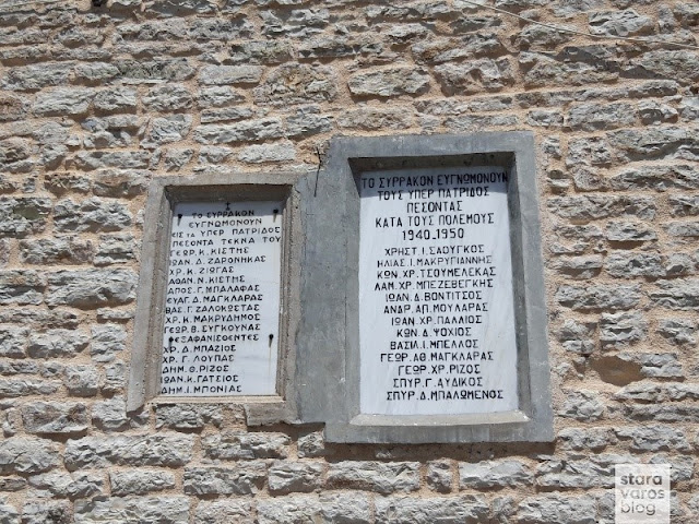
It is worthwhile to deal with the history of the village, since this one did not escape the common fate of the other Tzoumerka villages, which during World War II (especially from the middle to the end of October 1943) suffered great damage from the purges of the German occupiers. Tribute to the fallen for the homeland.

Stara Varos Blog - Exploration of the Pindus mountain range: Tzoumerka and the Baros Pass

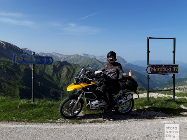
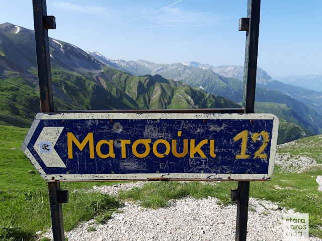
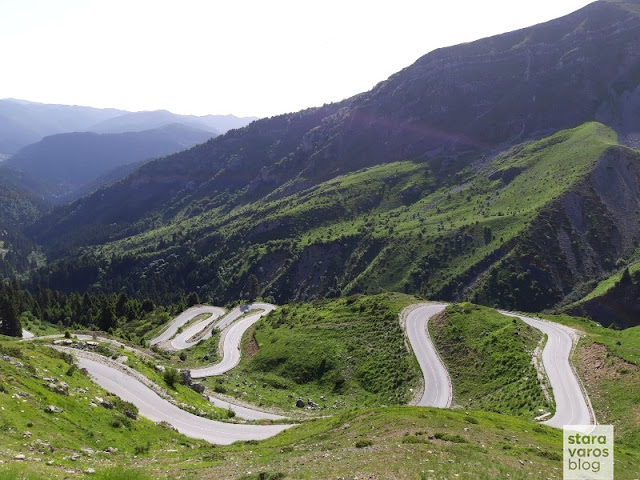
Relatively close, just a stone's throw northeast of Kalarrites village and where the mountains Peristeri and Kakarditsa meet, is located the highlight of the area, the Baros Pass or, by analogy with the names of the alpine passages, the Passo Baros.

Stara Varos Blog - Exploration of the Pindus mountain range: Tzoumerka and the Baros Pass

Stara Varos Blog - Exploration of the Pindus mountain range: Tzoumerka and the Baros Pass

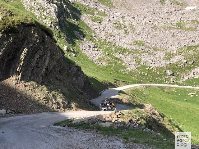
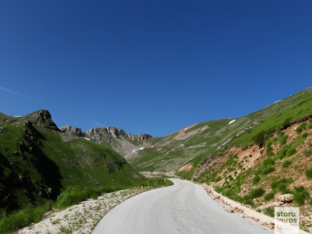
At 1905 meters, it is one of the three passages that connect Thessaly with Epirus region. It is likely to be the highest altitude asphalt road in the country, while it is worth mentioning that until 1912 and the Wars for Independence, it delimited the Greek-Ottoman empire border.

Stara Varos Blog - Exploration of the Pindus mountain range: Tzoumerka and the Baros Pass

Stara Varos Blog - Exploration of the Pindus mountain range: Tzoumerka and the Baros Pass

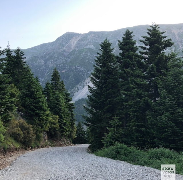
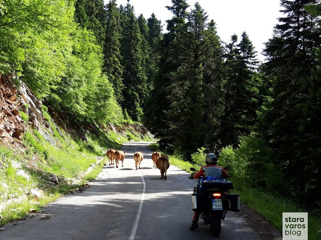
Descending, i came across the section of the passage that opens in late spring and of course, very often even then, strong weather phenomena prevail, such as strong winds and snowfall.

Stara Varos Blog - Exploration of the Pindus mountain range: Tzoumerka and the Baros Pass

Stara Varos Blog - Exploration of the Pindus mountain range: Tzoumerka and the Baros Pass

Stara Varos Blog - Exploration of the Pindus mountain range: Tzoumerka and the Baros Pass

Just before Chaliki, near the Acheloos river and the junction to Aspropotamos (Municipality of Kalampaka), the vegetation was so dense that in no way it could be compared to the barren and stony landscape i left behind before Baros Pass.

Stara Varos Blog - Exploration of the Pindus mountain range: Tzoumerka and the Baros Pass

Direction to Anilio (Metsovo) and return to Thessaloniki via Egnatia Odos motorway.
As already mentioned in the introduction, the Pindos mountain range while being accessible from any part of the country, is still an area of infinite natural beauty that calls you to discover it, making it an ideal destination for motorcycle ride getaways.